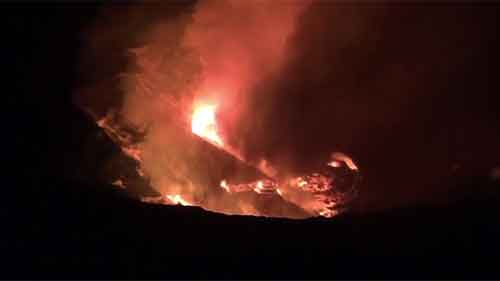

On this high definition cam is Mount Agung volcano, the highest peak of the island of Bali, Indonesia. It has had a magmatic eruption in 25 November 2017, after hundreds of earthquakes. Bali is on high alert due to imminent eruptions. To look around east Bali, please scroll down the page to find our street view map.